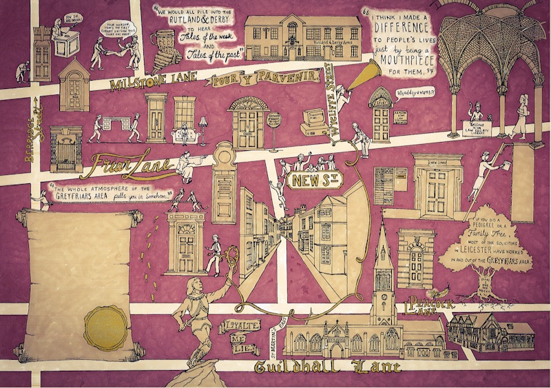
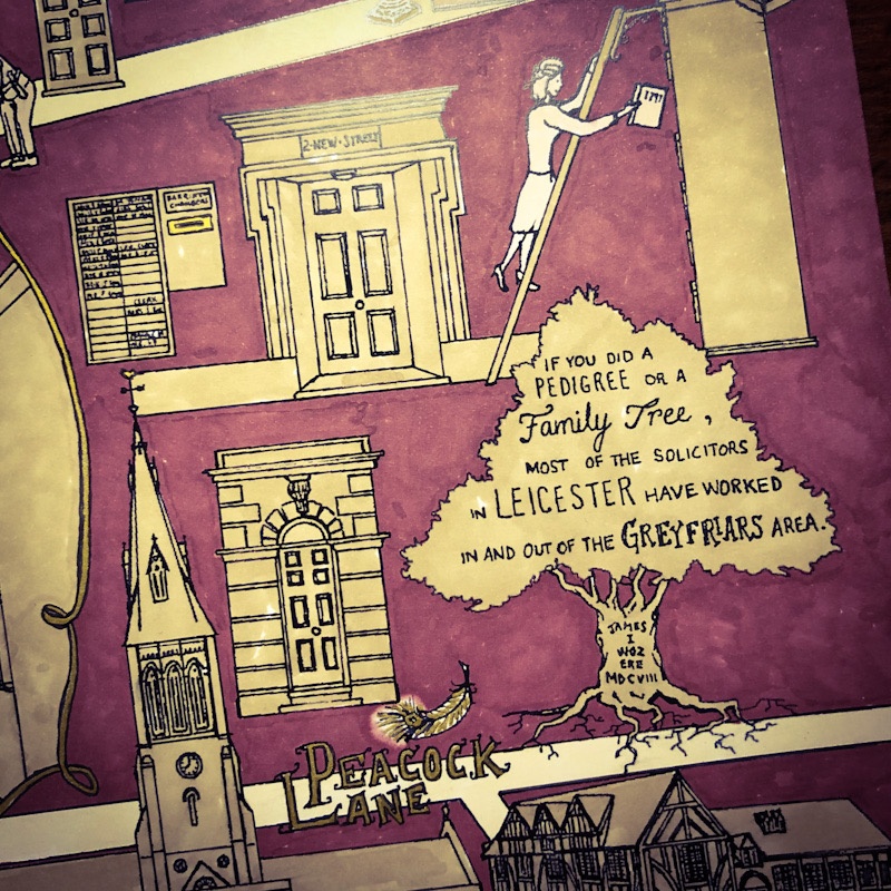
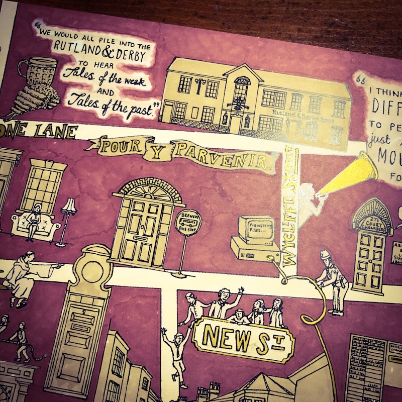
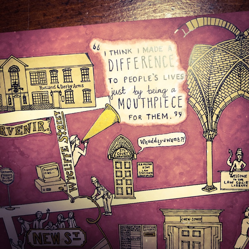
As part of Leicester City Council’s Townscape Heritage Initiative, I was commissioned to illustrate a map of the Greyfriars Conservation Area which brought to life the area’s historical past as the legal district of the city.
Students from the University of Leicester collected historical sources relating to the buildings and people who make up the Greyfriars Conservation Area which provided the inspiration for the walking tour map which you see here.
After creating an initial pencil sketch on bristolboard, I made the design permanent with archival Indian ink, and added colour to the map as a whole using Promarkers. The Colour palette used here was chosen to match the Initiative’s scheme of burgundy and gold.
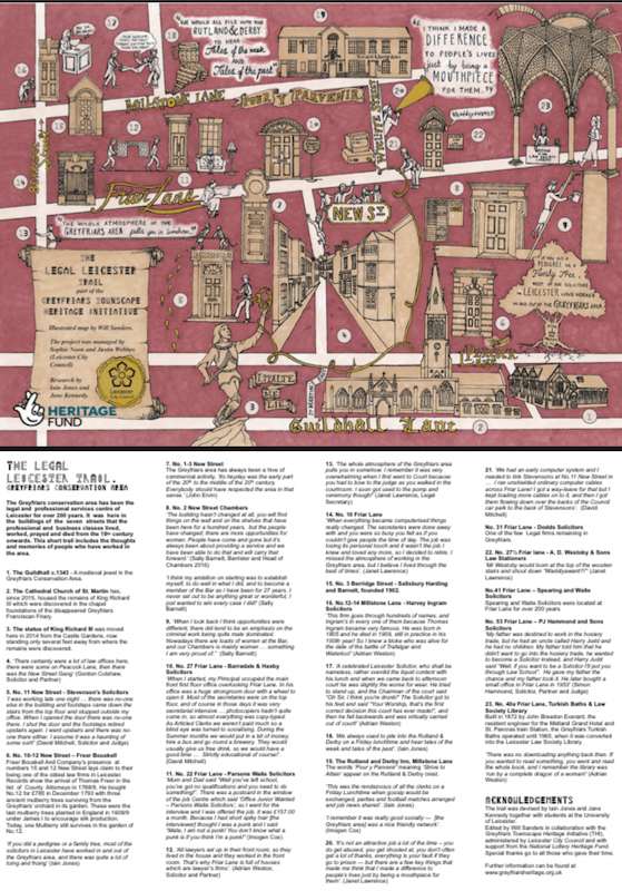
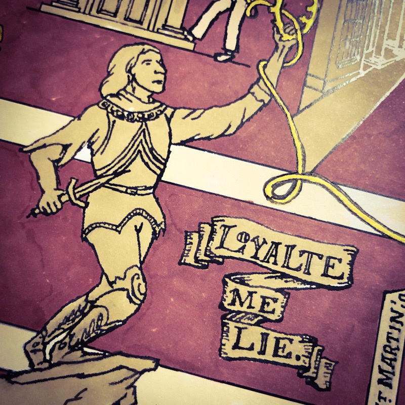
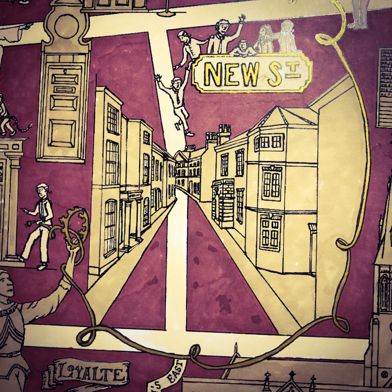
The images in the gallery below show some close up details, and the map in its completed form with accompanying text.
The project was funded by the Heritage Lottery Fund.


